Rincon Shortcut Trail
Info:
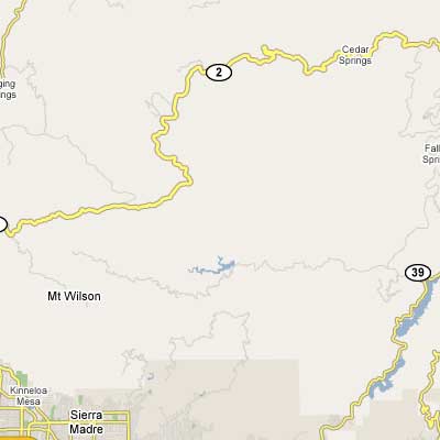
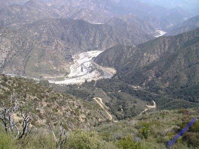
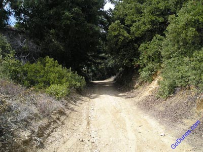
Rincon Shortcut Route highlighted in yellow below is a general map of the area, this is a fire road that goes from Highway 39 to Highway 2 a permit is required. You start out the ride at about 1600 feet and quickly climb to almost 5000 feet then drop down to about 2800 feet where there is a creek about mile 20 or so, then you continue your climb up to highway 2 where your almost back at about 5000 feet.
Location:
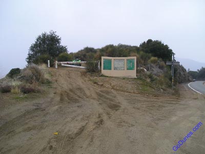
You can catch the Rincon trail either from the highway 39 side, just pass the ranger station for the Azusa Canyon OHV area, or you can catch it on the highway 2 Side, either way you need to get a pass and combination to the locked gate. Must present registration for all vehicles when obtaining pass and combination 4×4 and/or high clearance vehicles or green stickered only.
For current information you can call the following numbers
San Gabriel OHV Entrance Station
Highway 39 (626) 910-1235 (recording) USDA – Forest Service
San Gabriel River Ranger District
110 N. Wabash Ave.
Glendora, CA 91741 (626) 335-1251
GPS Positions
Past Trips
Rincon Shortcut Trail June 29, 2007 – Another “Night Run” Very dusty but a great 40 mile ride to the creek and back, not too many pictures
Rincon Trail May 11, 2007 “Night Run” – First night run with bikes and quads, very dusty no wind
March 25,2006 Rincon Trail Bikes and Quads
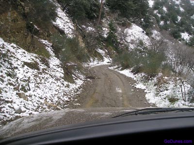
February 19, 2006 Rincon Trail by Trucks with Snow
July 2, 2005 Rincon Trail by Trucks